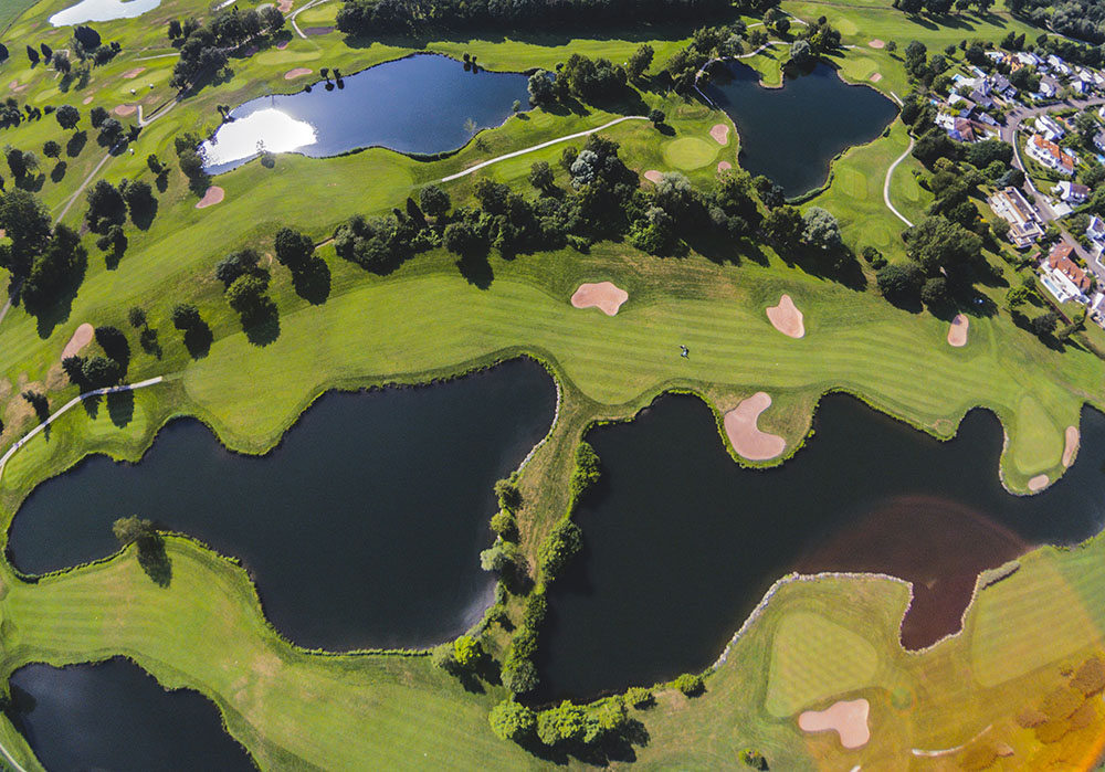
The application of high-precision lenses within the UAV industry is predominantly demonstrated in augmenting the clarity of monitoring, enhancing remote monitoring capabilities, and escalating the intelligence level, thereby promoting the efficiency and precision of drones in various tasks.
Specifically, in the domain of aerial photography and mapping, high-precision lenses are employed to create topographic maps and conduct three-dimensional modeling to enhance the accuracy of data acquisition. In the aspect of agricultural monitoring, high-resolution images are utilized to analyze the growth conditions of crops to achieve precise fertilization and pest control. In environmental protection, high-precision lenses can be adopted for ecological monitoring to assist in assessing natural resources and their variations. Infrastructure inspection depends on high-resolution imagery for regular inspections of bridges, power lines, etc., to guarantee safe operations. Finally, in the field of security monitoring, drones outfitted with high-precision lenses can offer real-time video streaming, which contributes to public safety management and emergency response. These applications manifest the significance and multi-functionality of high-precision lenses in drone technology.
The 25mm UAV lens of Jinyuan Optoelectronics, featuring high resolution and ultra-low distortion, is mainly utilized in mapping, hydrology, geology, mining, forestry, and other fields. The lens adopts an advanced optical design and manufacturing procedure to ensure the clarity and stability of image quality, and its ultra-low distortion characteristic effectively mitigates the geometric distortion during the imaging process, thereby enhancing the accuracy of data acquisition.
In the field of mapping, for instance, it enables detailed topographical surveys that are essential for urban planning and infrastructure development. In hydrology studies, the lens captures accurate images that assist in monitoring water bodies and analyzing changes over time due to environmental factors or human activities.
Geologists benefit from this lens as well; its ability to produce clear images aids in identifying rock formations and mineral deposits during field investigations. Similarly, in mining operations, precise imaging facilitates better resource management by allowing operators to assess site conditions effectively.
Post time: Oct-18-2024


